The Pelcomb Brook
The parish of Lambston is characterised by small valleys on north-south axes draining into the west-east flowing Pelcomb Brook. There are no watercourses that could be called ‘rivers’ but many small streams, draining small catchments*.
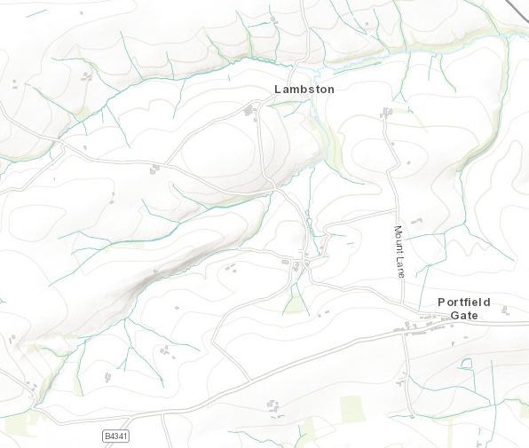
The only named watercourse on O.S. Maps is the Pelcomb Brook. The catchment of this stream encompasses almost the complete parish. In effect the parish lies in a cradle with low hills surrounding it to the west, south and north. Both the north and the south parish boundaries largely follow watersheds.
Lambston Water
Newspaper articles from the early twentieth century refer to ‘Lambston Water’. This is the stream flowing below (south of) Lambston Hall, alongside Lambston Wood. This stream rises beyond the parish boundary around Rogeston Farm and Rogeston Cross. On a 1762 Estate Map for Picton Castle it is marked ‘Lambston Lake’. ‘Lake’ being a word for stream usually used rather further south in Pembrokeshire.
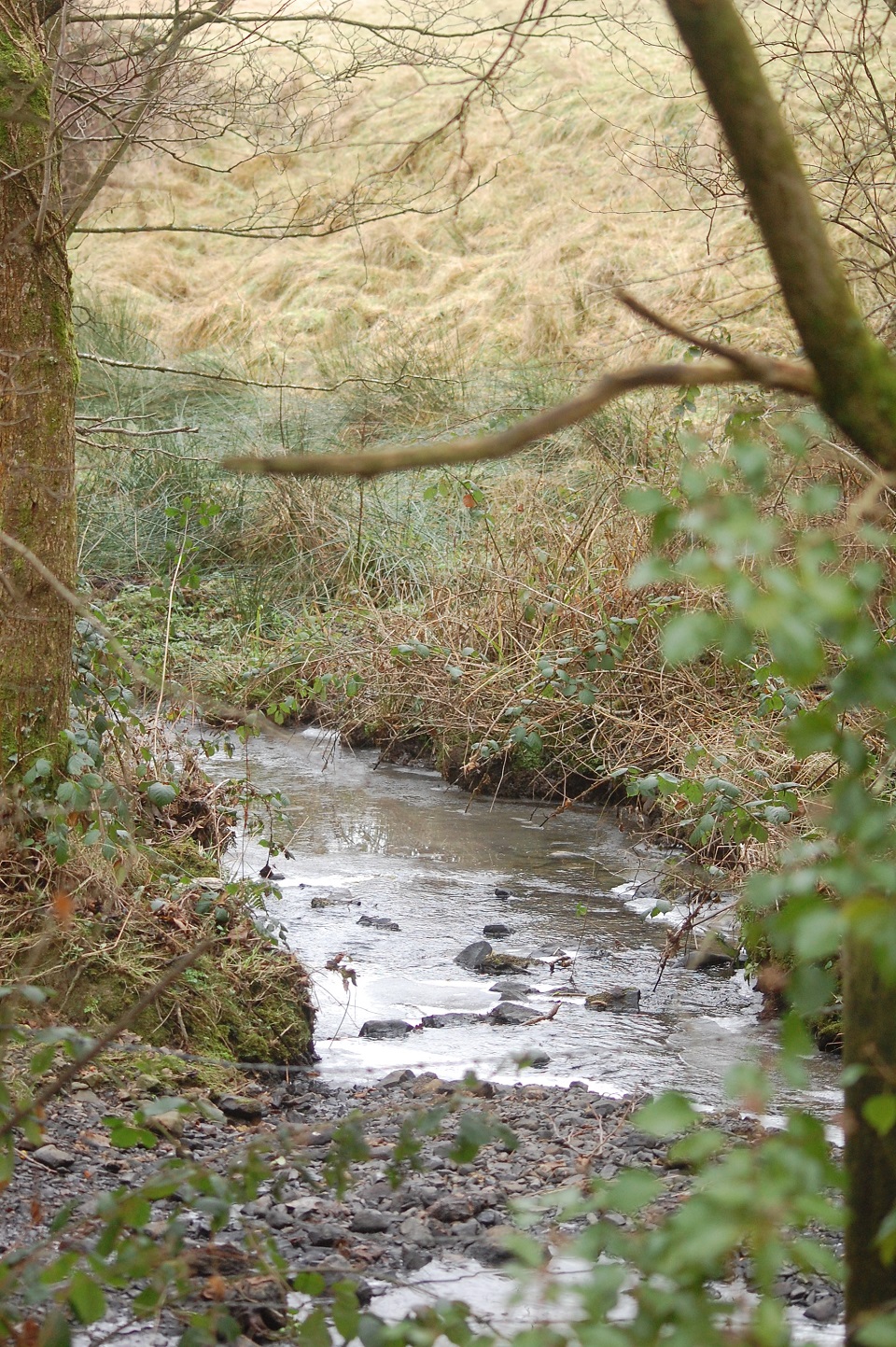
Castleborg Lake
Lambston Water is joined by another significant stream flowing through the steep valley to the south of the Sutton Mountain . I haven’t been able to find a common name but it appears on the 1762 Picton Estate Map as ‘Castleborg Lake’ . If you know the names of other local streams – either ‘official’ or locally used names, please let me know.
Walesland Water
Further north ‘Walesland Water’ (Pronounced more usually Waseland) is used for the stream which flows between between Lambston Hall and Walesland. This looks more like the upper part of the Pelcomb Brook to me.
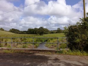
East Hook Stream
The other main tributary of the Pelcomb Brook forms the eastern boundary of the parish. It rises close to Portfield Gate and flows north past East Hook Wood. I will refer to this as “East Hook Stream” but again if it has a local name, please let me know.
Merlin’s Brook and Knock Brook
In the 1980s the land around Temperness was included with Lambston parish. This change extended the parish out of the catchment of the Pelcomb Brook and into the catchment of the Merlin’s Brook. This flows down to Merlin’s Bridge in Haverfordwest.
In the very north-west corner of the parish, the boundary of the parish briefly follows the course of Knock Brook which flows to Keeston bridge.
Questions
One interesting feature of the drainage system is that the Pelcomb Brook rises within two or three kilometres of the sea (to the west) but flows much further to reach the sea.
I wonder if this is reflects an impact of past glaciation. If the Irish Sea Glacier cut off flows to the west and then in melting, generated huge volumes of water, this might have cut eastward-flowing valleys which remain today. Such a process would also explain why some valleys seem rather deep for the volume of water which occupy them. For example look at the depth and steepness of the stream valley to the south of Sutton Mountain. If you have any expertise which would cast light on this, please let me know.
Another minor oddity is that the stream valleys which flow south across Walesland into the Pelcomb Brook seem unusually deep and narrow. Again I am not sure why this would be so when the streams are small and gradients low.